
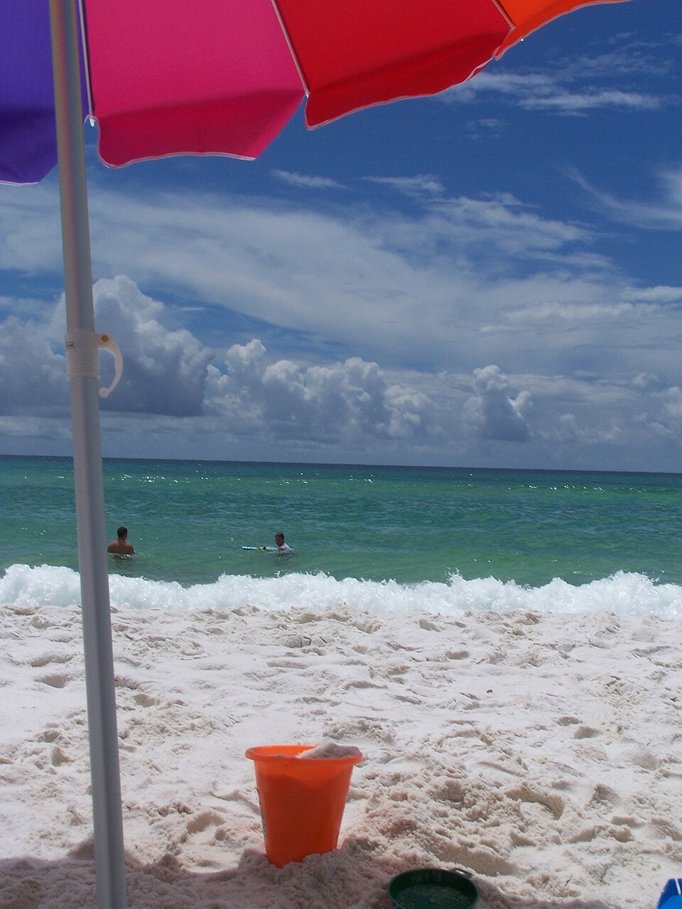
Archive image: Destin Beach, Florida, in 2006. The photograph shows the location and does not depict the passage of Isaias. Credit: Mark Griffin/Wikimedia Commons, public domain. Source and licensing.
Isaias left four dead in Florida and Alabama, according to officials cited by the Associated Press on Saturday, October 10. The system made landfall near Destin, Florida, on Friday as a Category 2 hurricane. It weakened inland, but the risk of flooding continued in the southeastern part of the country.
Around noon on Saturday, approximately 670,000 utility customers were without electricity, according to Reuters, based on monitoring by PowerOutage.us. The figure is a snapshot from that time and may change during recovery efforts.
Winds diminish, but rain remains dangerous
In the 15:00 UTC advisory — 12:00 p.m. Brasília time —, NOAA’s Weather Prediction Center classified Isaias as a post-tropical cyclone. The center was located approximately 80 kilometers south of Birmingham, Alabama, with sustained winds of 55 km/h.
The forecast indicated movement toward the north-northwest during Saturday, followed by a turn toward the northeast between Saturday night and Sunday. Stronger gusts were still possible, especially in higher elevation areas.
For parts of the Southern Appalachians and the Carolinas, the agency projected totals of about 75 to 150 millimeters of rain, with isolated areas near 250 millimeters. The advisory also indicated the possibility of flash flooding, river flooding and landslides, with significant impacts in mountainous regions.
Weakening does not end the impacts
The sequence of observations from NOAA shows the rapid reduction of winds between the approach to the coast on Friday and the movement over Alabama. Even so, Saturday’s advisory maintained warnings related to wind and flooding. In western Northwest Florida, river flood crests were expected between Saturday and Sunday.
Isaias became the first hurricane of the 2026 Atlantic season, NOAA/NESDIS reported. The agency recorded its intensification over the Gulf of Mexico before reaching the U.S. coast. Satellite data helps track circulation and cloud distribution during this transition.
Weather information refers to the advisory from October 10 at 15:00 UTC. For local decisions, follow updated warnings from the weather service and emergency authorities.