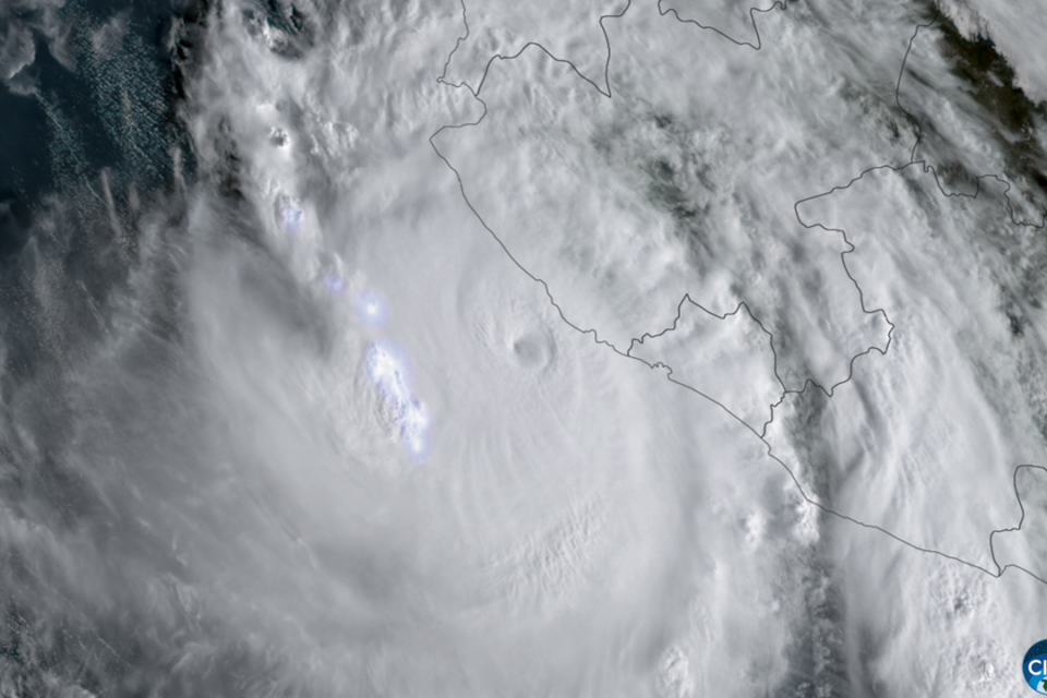

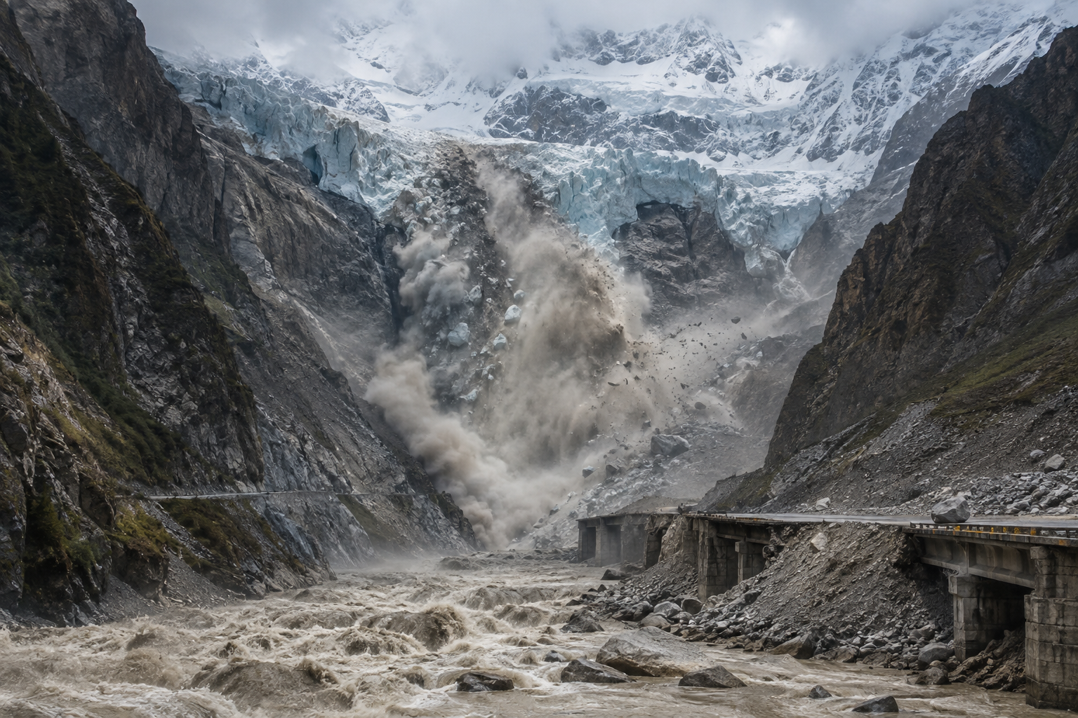
An ice and rock avalanche followed by a flash flood hit the mountainous region between Nepal and Tibet this Wednesday, August 26, 2026. The disaster destroyed communities, roads, bridges, and power facilities along the Bhote Koshi and Trishuli rivers, leaving people dead and hundreds missing.
What caused the flood?
Initial reports mentioned a possible 4.4-magnitude earthquake shortly before the avalanche. Subsequently, the United States Geological Survey withdrew this record and clarified that the seismic signal was likely produced by the large-scale landslide itself.
Satellite image analyses indicate that a significant portion of a glacier, located at an altitude of approximately 5,200 meters, broke off and plunged more than 1,200 meters. The mass of ice, rocks, and sediment reached the valley and generated a destructive wave that surged down the region’s rivers.
Rescues face extreme terrain
Emergency teams from Nepal and China have been mobilized, but access remains difficult. Highways and bridges were destroyed, communities were left isolated, and river levels rose rapidly. Helicopters and ground crews are participating in the search for residents, workers, and travelers who were in the area.
Casualty and missing numbers continue to be updated by authorities. For this reason, Memória do Gelo avoids presenting a definitive total while search operations remain ongoing.
Himalayan glaciers are more vulnerable
Experts interviewed by international agencies state that high temperatures and accelerated melting may have contributed to the glacier’s instability. The Himalayas have been losing ice mass in recent decades, increasing the risks associated with glacial lakes, ice avalanches, and flash floods.
These events are particularly dangerous because they can occur with little warning. When ice, rock, and water rush down narrow valleys, the surge of debris gains speed and can raise river levels within minutes.
Why did the earthquake information change?
Large landslides also produce vibrations detectable by seismic sensors. In the early stages of a disaster, these signals can be mistaken for an earthquake. The USGS revision shows why emergency information must be updated as new satellite data, measurements, and expert analyses become available.
So far, the most consistent explanation is that of a glacial collapse that triggered an ice and rock avalanche, followed by a catastrophic flood. Investigations continue to determine the exact sequence and the contribution of recent heat, melting, and other local conditions.
Verified sources: Reuters, Associated Press, and UOL, regarding the correction of the seismic record. Original text produced by Memória do Gelo.
Featured image: editorial illustration produced for Memória do Gelo. This is not a photograph of the event.