
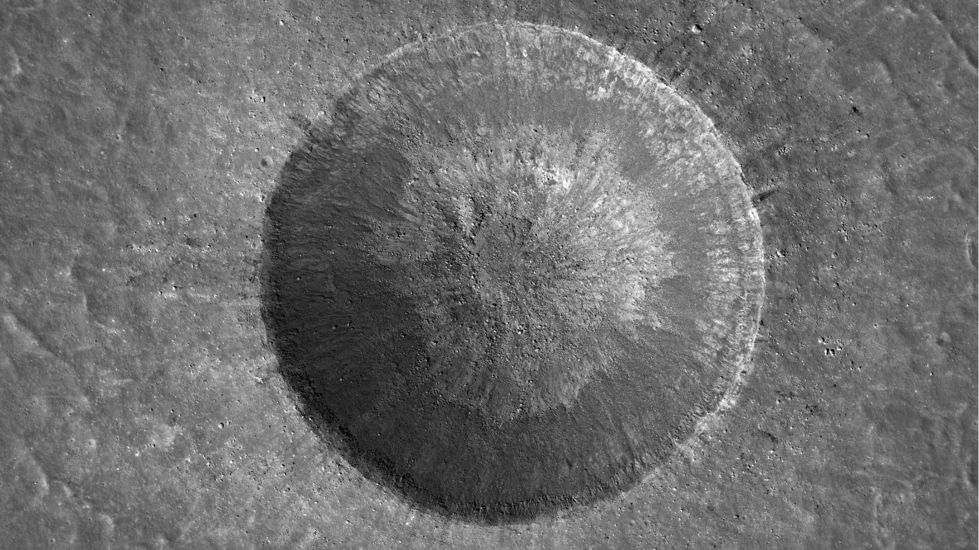
NASA and IBM released an open-source artificial intelligence model on Thursday, September 10, designed to analyze decades of observations of the Moon. Called the NASA-IBM Lunar Foundation Model, the tool can help researchers locate potential ice deposits, map craters and study volcanic features on the lunar surface.
The system was trained on more than 30 spatially aligned data layers collected by nine instruments across four missions. They include NASA’s Lunar Reconnaissance Orbiter (LRO) and GRAIL mission, as well as complementary information from Japan’s SELENE/Kaguya mission.
Data from different missions in one model
The main advance lies in combining observations obtained by different sensors, scales and resolutions. This type of information has traditionally required manual analysis of maps and images or machine-learning models specialized in a single task.
According to IBM and NASA, the new system provides a reusable foundation that scientists can adapt for different research projects. It joins the Prithvi family of open models, which already includes tools for geospatial, weather and solar-physics applications.
The search for ice and safer future missions
Permanently shadowed regions at the lunar poles are of particular interest because they may preserve ice below the surface. The possible presence of water and oxygen in these areas is considered important for a sustained human presence and, in the future, for producing fuel for more distant missions.
In tests released by the project teams, the model reduced error by up to 22% when identifying areas with greater ice potential compared with a reference method. For crater detection at a broader scale, it outperformed the comparison model by nearly 19% while using half the training data. These are research benchmarks and do not amount to automatic confirmation that ice exists at every location identified.
An open tool for the scientific community
Besides supporting landing-site selection and terrain-hazard identification, the tool may help scientists investigate the Moon’s geological history. The model and dataset were made available so researchers can test and adapt them to new scientific questions.
Reuters independently confirmed the launch and the main technical details announced by the organizations. The initiative is connected to the Artemis program’s plans to expand lunar exploration and test technologies for a sustainable human presence, although mission decisions will continue to require additional scientific and operational assessments.
Sources: Reuters; IBM and NASA.